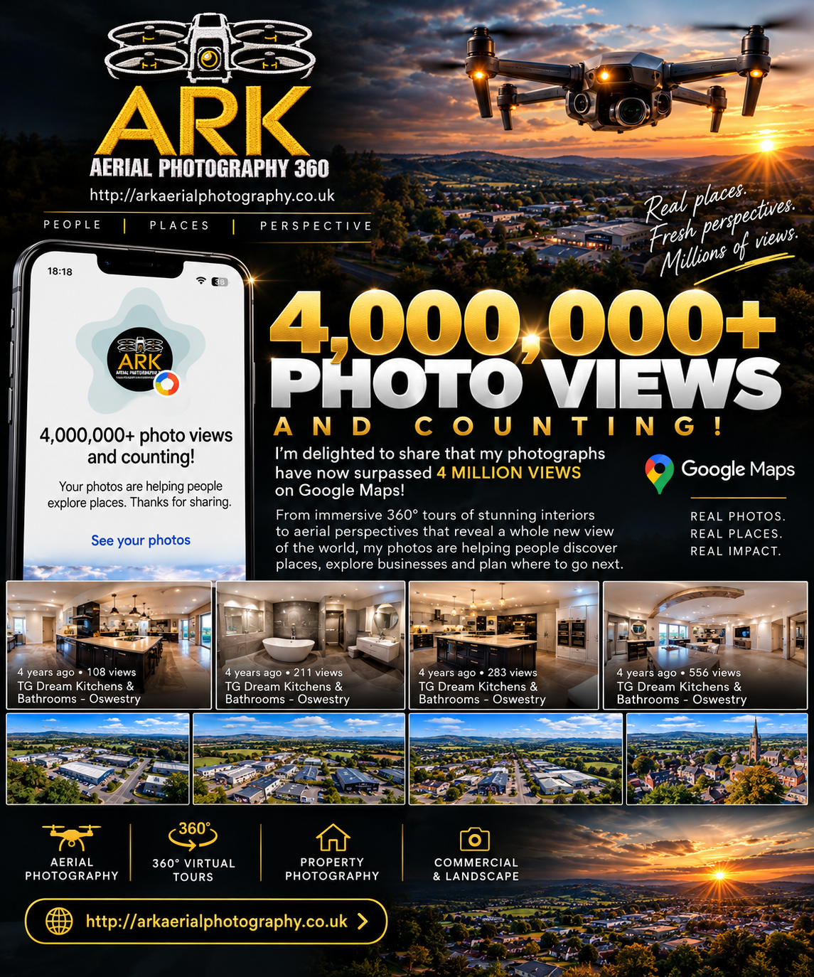
Ark Aerial Photography 360 offers professional drone photography and videography across Shrewsbury and Shropshire. Here is what our aerial photography service includes.
Shrewsbury sits at the heart of one of England's most photogenic counties. From the medieval loop of the River Severn to the rolling hills of the Shropshire countryside, the landscape rewards aerial photography in a way that few places in the UK can match. At Ark Aerial Photography 360, we have been capturing it from above for over a decade.
This post sets out exactly what our aerial photography service covers — who it is for, what you can expect, and why working with a CAA-certified local operator makes a genuine difference to the quality and reliability of your shoot.
Who We Work With
Our clients come from a wide range of sectors, but they share one thing in common: they need imagery that communicates scale, setting, and context in a way that ground-level photography simply cannot deliver.
Estate agents and property developers use our aerial photography to showcase homes, development sites, and commercial premises. A bird's-eye view tells the story of a property's location, its relationship to the surrounding landscape, and the scale of its grounds — all in a single frame.
Events and hospitality clients — from wedding venues to outdoor festivals — use aerial footage to capture atmosphere and scale for marketing materials and social media.
Construction and infrastructure clients commission regular progress photography to document development over time, providing a clear visual record for clients, contractors, and planning authorities.
Tourism and leisure businesses across Shropshire use aerial imagery to showcase their settings — whether that is a country house hotel, a golf course, or a visitor attraction.
Businesses and brands use aerial and cinematic ground-level footage for corporate video, brand campaigns, and social content.
What Our Aerial Photography Service Includes
Every shoot with Ark Aerial Photography 360 is a complete, managed service — not just a pilot turning up with a drone.
Pre-flight Planning
Before any shoot, we carry out a thorough site assessment. This includes checking airspace restrictions using the CAA's drone map, identifying any notified areas or temporary restrictions, and assessing wind conditions, lighting angles, and potential obstacles.
For shoots in or near Shrewsbury town centre — close to the hospital, the town's historic buildings, or the river — this planning stage is particularly important. We know the local airspace well, and we handle all the necessary notifications and permissions as standard.
The Shoot
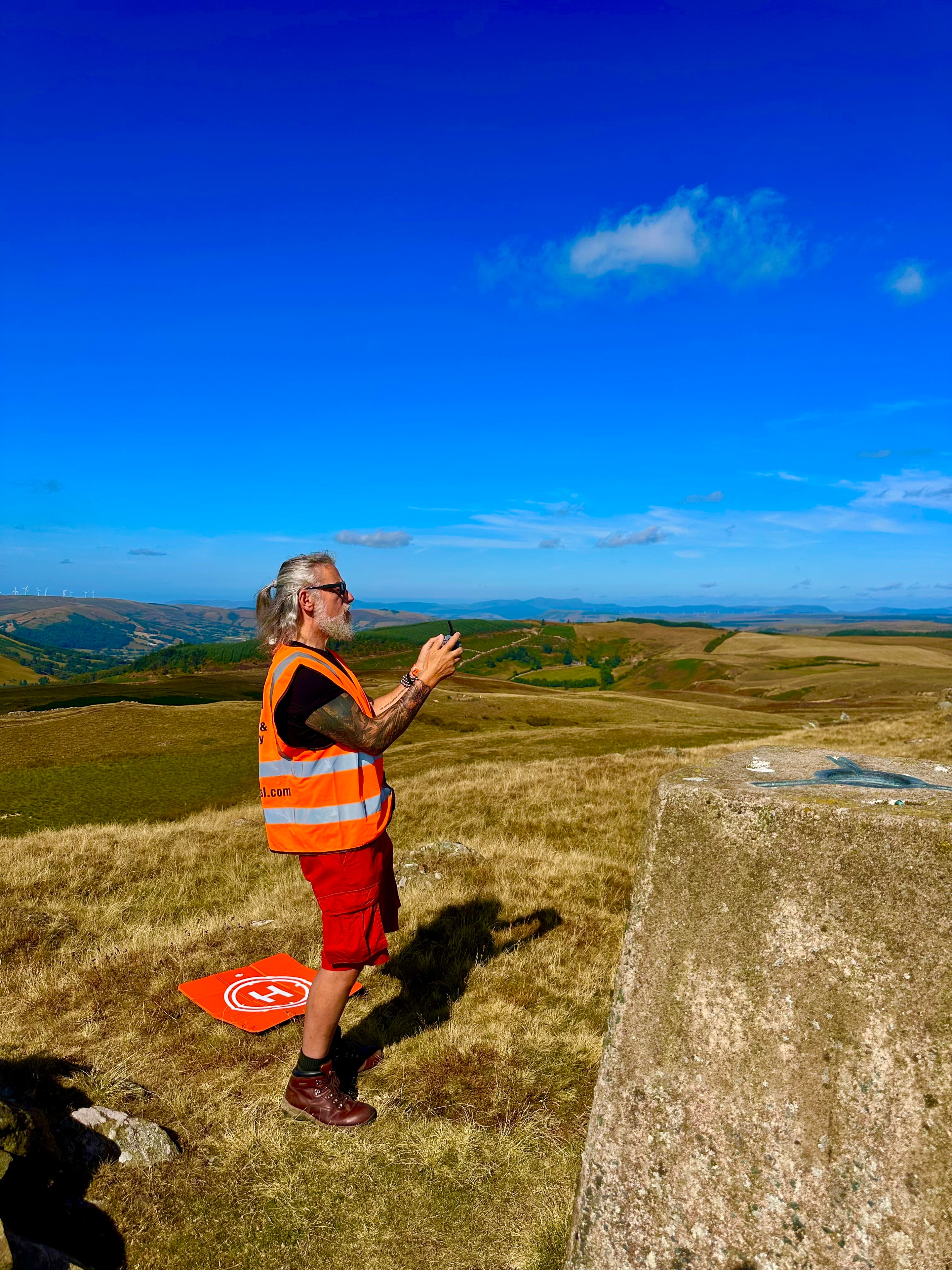
On the day, we arrive with fully charged batteries, calibrated equipment, and a clear shot list agreed with you in advance. We work methodically and efficiently, capturing every angle you need while remaining flexible enough to respond to changing light or unexpected opportunities.
A typical aerial photography shoot lasts between one and three hours on site, depending on the scope of the brief. We can combine stills and video in a single session, which is often the most cost-effective approach.
Post-Production
The raw footage from a drone shoot is only the beginning. Every image and video we deliver is professionally processed — colour graded, retouched, and edited to a broadcast-quality standard. We do not deliver unprocessed files and call it done.
For video commissions, we handle the full edit: cutting, colour grading, music licensing, and delivery in the formats you need — whether that is a short social media clip, a full property tour, or a cinematic brand film.
Delivery
Standard delivery is three to five working days from the shoot date. Rush turnarounds are available for time-sensitive projects such as property listings going live on Rightmove.
Files are delivered via a secure download link in agreed formats — typically high-resolution JPEG for stills and MP4 for video.
CAA Certification and Insurance
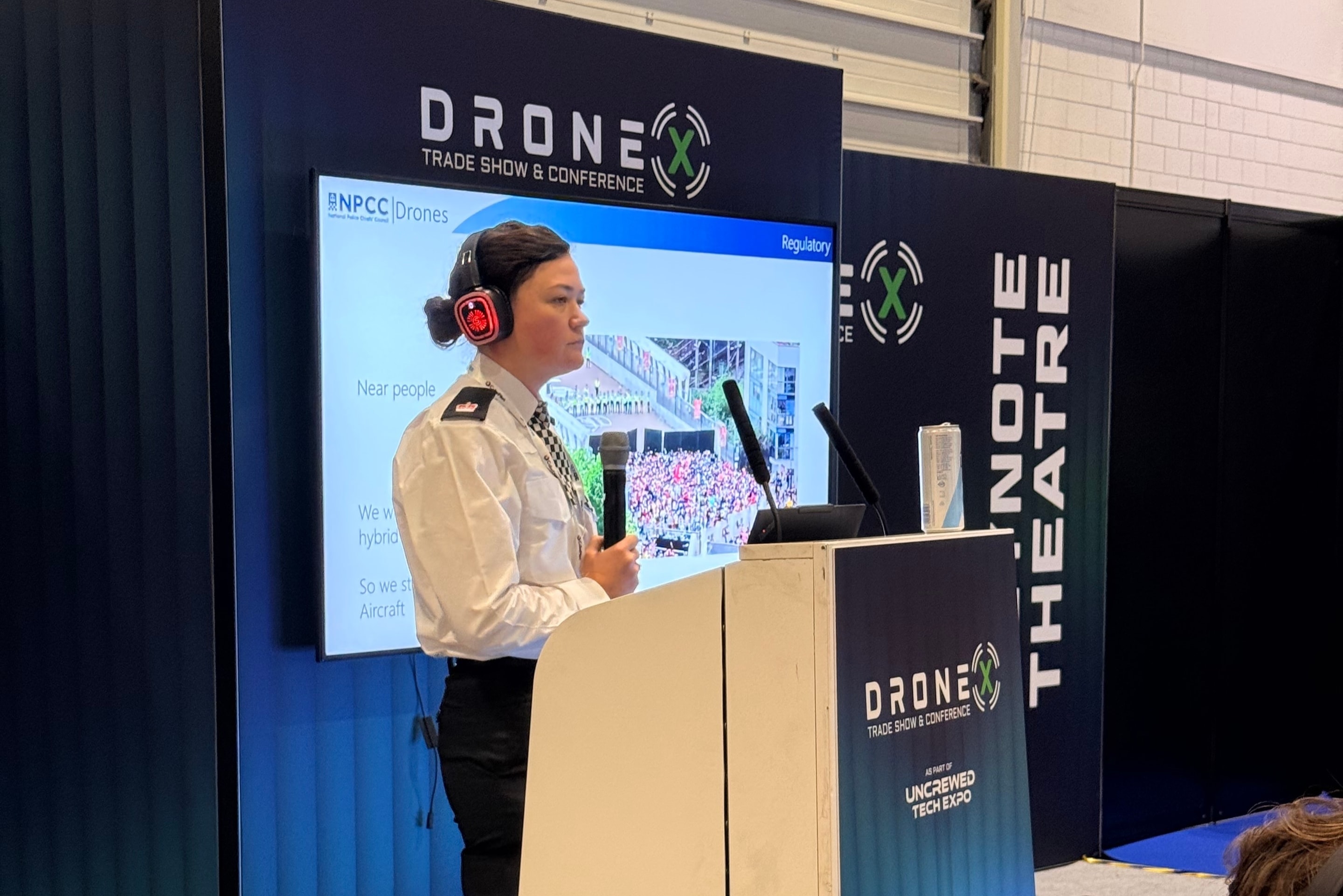
All commercial drone operations in the UK require a valid CAA qualification and registration. Jamie Whelan is fully qualified and registered with the Civil Aviation Authority as a commercial RPAS operator.
We carry full public liability insurance for every shoot, and all operations are conducted in strict compliance with the UK Air Navigation Order.
If you are comparing operators, always ask to see CAA credentials and proof of insurance. A reputable operator will provide both without hesitation.
Coverage Area
We are based in Shrewsbury and cover the whole of Shropshire as standard — including Telford, Ludlow, Oswestry, Market Drayton, Bridgnorth, and the Shropshire Hills. We regularly travel further afield across the West Midlands, North Wales, and beyond for the right project.
Travel within Shropshire is included in our standard pricing. For longer distances, a travel supplement may apply — this will always be agreed upfront.
Getting a Quote
Every project is different, so we price by the brief rather than by a fixed rate card. Get in touch via our contact form with a description of what you need — the location, the type of imagery, and your timeline — and we will come back to you with a clear, itemised quote.
There are no hidden extras and no obligation. We are happy to discuss your project before you commit to anything.
If you are ready to see Shrewsbury and Shropshire from a new perspective, we would love to hear from you.
Browse our aerial photography portfolio to see examples of our work across Shropshire and the UK, or get in touch to discuss your project — no obligation, just a straight conversation about what you need.
Explore Topics
Written by
Jamie Whelan
Content creator and writer sharing insights and stories.